Languages:
This site is created using Wikimapia data. Wikimapia is an open-content collaborative map project contributed by volunteers around the world. It contains information about 32596224 places and counting.
Learn more about Wikimapia and cityguides.
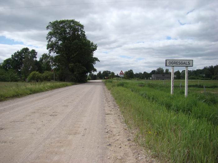
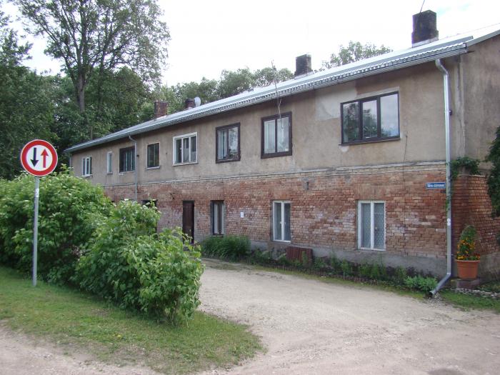
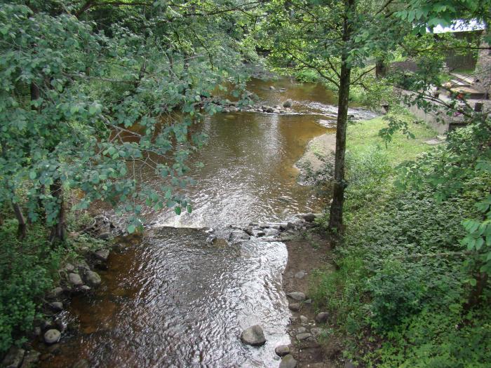
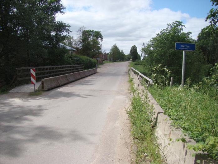
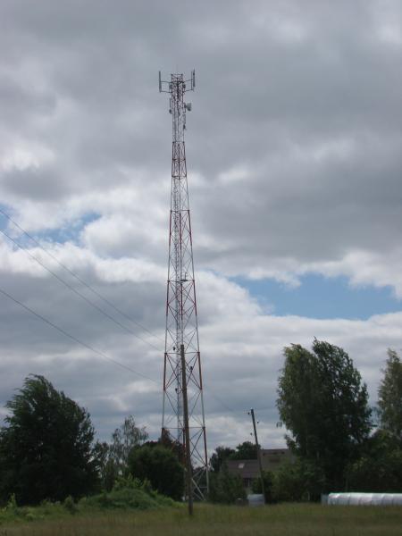
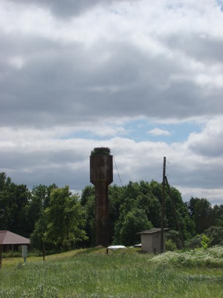
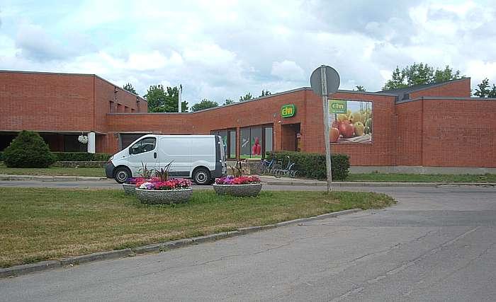
Ogresgals
Village in central Latvia, Ogre municipality, administrative centre of Ogresgals parish.
Ogresgals on the map.